Artec 3D New
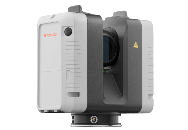
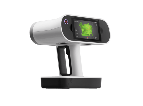
Artec Jet
€38,500
Ceny jsou bez DPH a bez sales tax. Doprava se vypočítá při placení.
Artec Jet is a mobile SLAM LiDAR mapper that captures entire sites while you walk, drive or fly. It maps mines, tunnels, plants and stadiums in minutes, even in complete darkness and without GPS.
Key specs
All tech specs- AccuracyHow close each measured point is to its true position. Smaller is better.
- ±10 mm
- RangeThe nearest and farthest surfaces the scanner can measure.
- Up to 300 m
- SpeedHow many 3D points the scanner records per second. Higher means shorter scanning sessions.
- Up to 1.92 mln points/s
- Field of viewThe area captured in a single frame, or all around the scanner for 360° devices. Larger covers objects faster.
- 360° × 290°
- Official Artec 3D store — full manufacturer warranty
- Shipping to all EU countries and the US
- Expert support before and after purchase
Why Artec Jet
- Seven ways to deploy. Handheld, backpack, pole, cage, vehicle (up to 60 km/h), robot or drone, all from one device with a quick-release mount.
- Goes where people shouldn't. AI-assisted drone flight with 360° collision avoidance detects wires down to 2 mm, and waypoint missions with a return-to-base failsafe cover collapsed, flooded or hazardous areas.
- No light, no GPS, no problem. SLAM positioning and an active laser work underground and indoors, continuing seamlessly from GNSS into GPS-denied zones.
- Survey-grade data, fast. ±10 mm indoor and underground accuracy, 0.5–300 m range, up to 1.92 million points/s and a 360° × 290° field of view, with a live preview in the companion app.
- Rugged. IP65, 1.57 kg, operating from −10 to 45 °C.
Where it shines
Jet maps entire sites at walking, driving or flying speed, including places where no tripod, and no person, should go.
- Mining and underground works. Stopes, shafts, tunnels and collapsed zones mapped in the dark and without GPS, from a backpack, a vehicle or a drone.
- Plants, facilities and stockpiles. As-built surveys, volume measurement and change detection down to ±5 mm across whole sites in a single pass.
- Infrastructure and public safety. Bridges, tunnels, dams and disaster scenes surveyed with less scaffolding and rope access.
- Venues and heritage complexes. Stadiums, concert halls, temples and castles captured inside and out in minutes.
Process and merge data with Ray II and Leo scans in Artec Twins.
What customers report
- A 6,700-seat stadium captured inside and out, in color, in 30 minutes, short enough to fit between games.
- A collapsed, flooded 9-hectare mine zone mapped by drone within 48 hours, revealing pillar weakening and water ingress without sending anyone in.
- A waste facility mapped inside and out in under 45 minutes, three times faster than tripod scanning, with the interior flown by drone in 15 minutes.
Drones sold separately. 2-year manufacturer warranty.
Mapping
| Mapping method | SLAM-based LiDAR mapping, ±0.03% drift |
|---|---|
| LiDAR sensing range | 0.5–300 m |
| LiDAR accuracy | ±10 mm |
| Mapping accuracy (general) | ±15 mm |
| Mapping accuracy (indoor/underground) | ±10 mm |
| Change detection capability | ±5 mm |
| Field of view | 360° × 290° |
| Acquisition (single return) | Up to 640,000 points/second |
| Acquisition (triple return) | Up to 1,920,000 points/second |
| Max travel speed (vehicle) | 60 km/h |
| Max travel speed (flight, above ground) | 5 m/s |
| Max travel speed (flight, underground) | 2 m/s |
| Start/stop while walking or hovering | ✓ |
| Laser class | Class 1 (eye safe) |
Physical & environmental
| Ingress protection | IP65 |
|---|---|
| Operating temperature | -10°C to 45°C |
| Weight | 1.57 kg |
| Power | 14–54 V, 64W (battery or auxiliary) |
| Onboard storage | 512 GB (~16 hrs) |
| Quick release mount | ✓ |
| Deployment modes | Handheld, backpack, drone, vehicle, cage, telescopic pole, robot |
Output & file formats
| Point cloud formats | LAS, LAZ, PLY, E57 |
|---|---|
| Outputs | Full resolution point cloud, decimated point cloud, trajectory file |
| Point attributes | Intensity, range, time, return number (strongest, first & last), ring number, RGB/true color (optional) |
Autonomy & safety
| Flight modes — Pilot Assist | Non-GPS flight, position hold, assisted flight, collision avoidance, regulated flight speed |
|---|---|
| Flight modes — Autonomous | Autonomous navigation to waypoints |
| AL2 waypoint types | 2D, 3D, planar, height |
| AL2 navigation modes | Guided exploration, local and global path planning |
| Collision avoidance FOV | 360° × 360° |
| Collision avoidance range | 1.2–40 m |
| Min. obstacle detection | ≥2 mm wire |
| In-flight adjustable safety distance | ✓ |
| Return-to-home | Low battery / excessive dust trigger |
Interfaces
| Auxiliary port | Proprietary connector |
|---|---|
| USB | ✓ |
| Wi-Fi | Internal antenna |
Drones
| Supported drones | DJI M300, DJI M350, Freefly Astro Max |
|---|---|
| Autopilot compatibility | DJI M300, DJI M350, Freefly Astro Max |
Real scan data
Real datasets, not renders
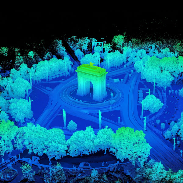
A mine, power lines, a working workshop, a car park, a concert hall and a castle: flythroughs of real point clouds, mapped on the move in minutes.
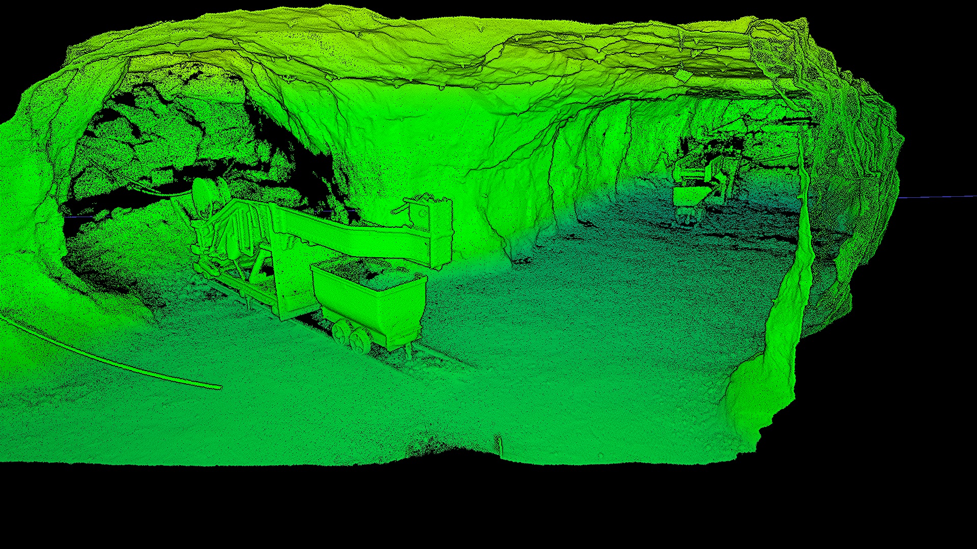
Mining
Underground iron mine
Dark, dusty tunnels with no GPS, mapped on foot.
Want to see how it handles your own site?
Recenze zákazníků
Zatím žádné recenze — podělte se o svou zkušenost jako první.