3D Scanners for Mining

Mobile SLAM and long-range LiDAR scanners that map stopes, shafts, tunnels and stockpiles, underground and in the dark, for volumes, monitoring and planning.

3 prodotti
Ordina per
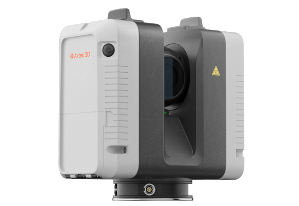
Artec Ray II long-range LiDAR 3D scanner
Artec 3D

Artec Ray II

★★★★★5.0 (2)
59.450 €
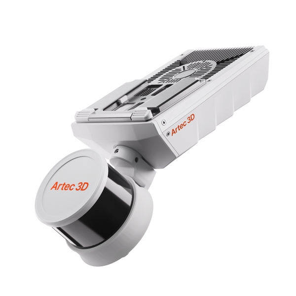
NewArtec Jet SLAM LiDAR mobile mapping scanner
Artec 3D

Artec Jet

38.500 €
Artec Ray II Premium Pack
Artec 3D

Artec Ray II Premium Pack

68.650 €
Choose by job

Mobile mapping or tripod precision

Jet maps the mine at walking, driving or flying speed; Ray II adds maximum accuracy where you need it.

Whole mine

Stopes, shafts and headings

Underground drives, stopes, vertical shafts, collapsed zones and stockpiles

Artec Jet38.500 €
  • ±10 mm underground, ±5 mm change detection
  • No light or GPS needed, IP65
  • Handheld, backpack, vehicle, cage or drone

Also consider Artec Twins — volumes, change detection and convergence monitoring
Fixed positions

Precise infrastructure scans

Processing plants, workshops, tunnels and structures needing the highest accuracy

Artec Ray II59.450 €
  • 1.9 mm accuracy at 10 m
  • 0.5–130 m range, 360° × 300° view
  • IP54, pre-aligned scans, no targets

From mine to volumes and change maps

Capture on the move, process in Artec Twins and compare surveys over time.

Artec Twins
  1. Capture on the move

    Walk, drive or fly the drives and stopes with Jet. A live preview in the companion app confirms coverage before you leave.

  2. Reach unsafe areas

    Send Jet by drone or in the cage into collapsed zones and vertical shafts. 360° collision avoidance and a return-to-base failsafe cover the flight.

  3. Georeference and merge

    Artec Twins removes drift, detects control targets automatically and georeferences each survey with ground control points.

  4. Measure and compare

    Calculate stockpile volumes and over or under break, run change detection to ±5 mm and track convergence between surveys.

Real scan data

Real underground and site datasets

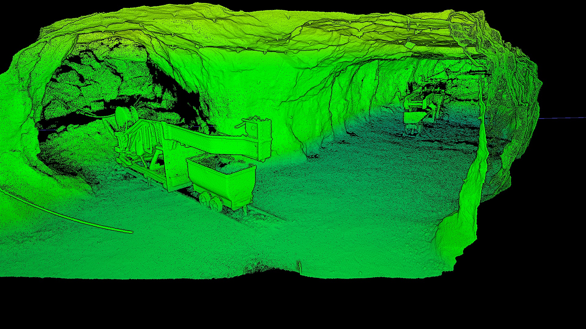
An underground iron mine and a GPS-denied tunnel, mapped on foot in the dark. Play either flythrough.

Underground iron mine
Underground mine

Underground iron mine

Dark, dusty tunnels with no GPS, mapped on foot.

Scanned with
Artec Jet + Artec Twins
Scan time
26 min

Results from mining operations

48h

A collapsed, flooded, GPS-denied mine was mapped with Jet by drone, without sending anyone in. Change detection revealed pillar weakening and water ingress, and the operator bought its own unit.

Scanned withArtec Jet

Questions about 3D scanning for mining

Does Jet work underground without GPS or light?

Yes. SLAM positioning needs no GPS and the active laser needs no ambient light, so Jet maps in complete darkness. It continues seamlessly from GNSS areas into GPS-denied zones in one session.

How accurate is Jet underground?

±10 mm indoors and underground, ±15 mm in general environments and ±5 mm for change detection, with ±0.03% drift. Actual accuracy depends on geometry, loop closures and the use of ground control points or RTK.

Can Jet fly into areas people should not enter?

Yes, on a supported drone (sold separately). It flies waypoint missions without GPS, detects wires down to 2 mm with 360° collision avoidance and returns to base on low battery or excessive dust.

What can I measure in Artec Twins?

Stockpile volumes, cross-sections and profiles, distance maps and change between surveys, on georeferenced data. Artec Twins renders multi-billion-point datasets in real time on your own PC.

When do I need Ray II as well?

Jet gives speed and full-site coverage; Ray II gives maximum accuracy in focused areas, with 1.9 mm accuracy at 10 m. Data from both merges in Artec Twins.

Is Jet rugged enough for a mine?

Jet is rated IP65, works from −10 to 45 °C and weighs 1.57 kg. Its 512 GB onboard storage holds about 16 hours of sensor data.

What do I get from a survey?

Full-resolution and decimated point clouds plus the trajectory file, as LAS, LAZ, PLY or E57, and DXF from Artec Twins, along with volumes, sections, profiles and change maps.

Can I mount Jet on a vehicle?

Yes. Jet works handheld, on a backpack, pole, cage, vehicle, robot or drone, all from one device with a quick-release mount, and vehicle mapping runs at up to 60 km/h.

Planning a mine survey?

See Jet data from a site like yours

Book a live demo with an Artec 3D expert. Talk through access, deployment mode, accuracy and the volume or monitoring reports you need.